About#
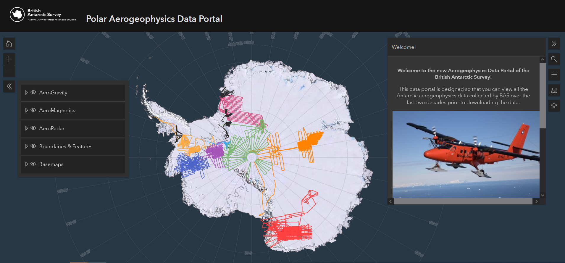
The Polar Airborne Geophysics Data Portal is a map-based app that allows users to discover the polar airborne geophysics datasets that are stored at the UK Polar Data Centre. Through its user-friendly interface, the user can have a first quicklook at the data and discover the great resource that we hold. The data consists of airborne gravity, magnetics and radar data. In total, it’s almost 450,000 line kilometers of data that is freely available.
Note
Have a look at the Polar Airborne Geophysics data portal here
References#
More information about the project can be found in this data paper: Frémand, A. C., Bodart, J. A., Jordan, T. A., Ferraccioli, F., Robinson, C., Corr, H. F., … & Vaughan, D. G. (2022). British Antarctic Survey’s Aerogeophysical Data: Releasing 25 Years of Airborne Gravity, Magnetic, and Radar Datasets over Antarctica. Earth System Science Data Discussions, 1-49. https://doi.org/10.5194/essd-14-3379-2022